SkyTrack Drone Services for Construction
Invaluable Tool for Managers
Real Time Images.
Documentation.
Remote Communication.
Verfication.
Real Time Aerial Mapping: The above images are a collection of photos stitched together during construction progress to make a current aerial map of the site. The images can be used to show remote managers and clients, for planning and documentation, and for marketing.
360 Construction Progress Video: Aerial drone footage of the entire construction process for the facility located at 156 St and Hwy 370 in Omaha, Nebraska.
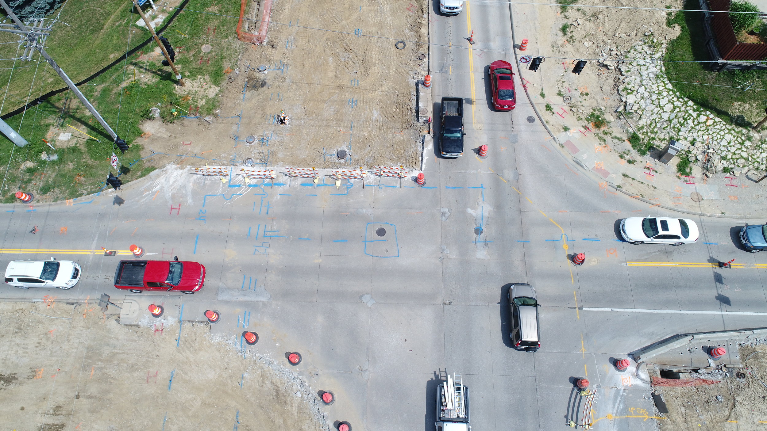
Aerial Photos: Verify, monitor, and communicate progress. A great tool for remote managers and clients, and great images to use in company newsletters.
Aerial Photos: Aerial images provide a unique view of the site and communicate a thousand words on progress and site status.
Aerial Photos can be used to manage worksite setup and workflow.
Aerial Photos can be used to document phases.
Nothing beats an aerial photo to communicate real time site status.
Aerial photos can be used to verify equipment and materials delivery.


